Ancient Crete
Capitalizing on contemporary photographic techniques, this series focuses on establishing the environmental context of Crete’s Bronze-aged Minoan tombs, emphasizing the challenge of studying the tombs in their modern state, as well as highlighting specific artifacts for deeper analysis and understanding of their role in ancient society.
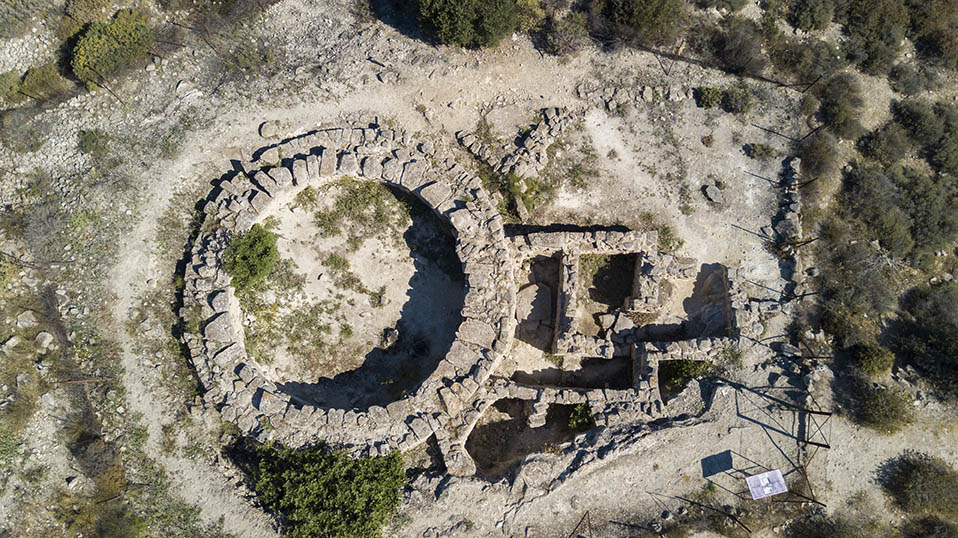
Aerial drone imaging can provide reliable site maps in the fraction of the time that it would take by hand, as well as documenting intricate detail.


Beyond site mapping, aerial imaging for this project allows for environmental context analysis.
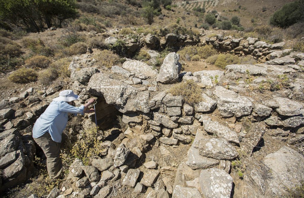
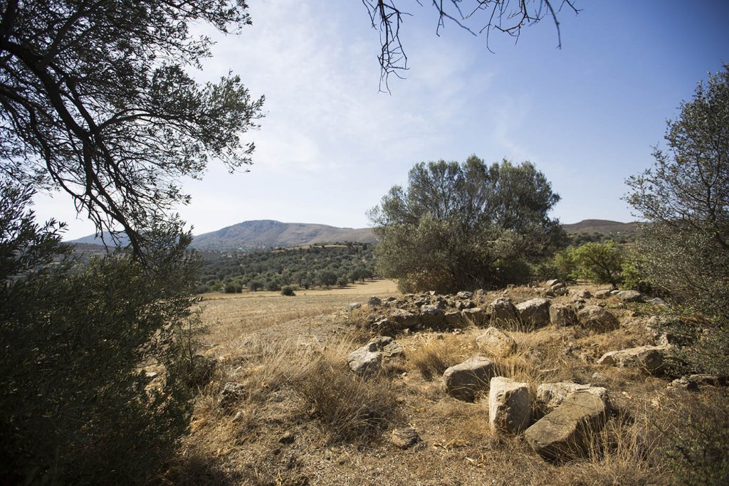
On-site photography documents the challenges of accessing and researching the tombs, which in some cases have become overgrown from neglect, or nearly destroyed due to agricultural intrusion.
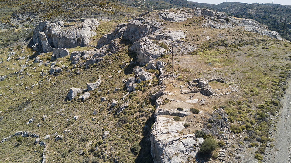
Aerial imaging also reveals the relationship that many of the Tombs have with modern realities, such as new roads being cut right next to and modern habitations being nearly on top them.

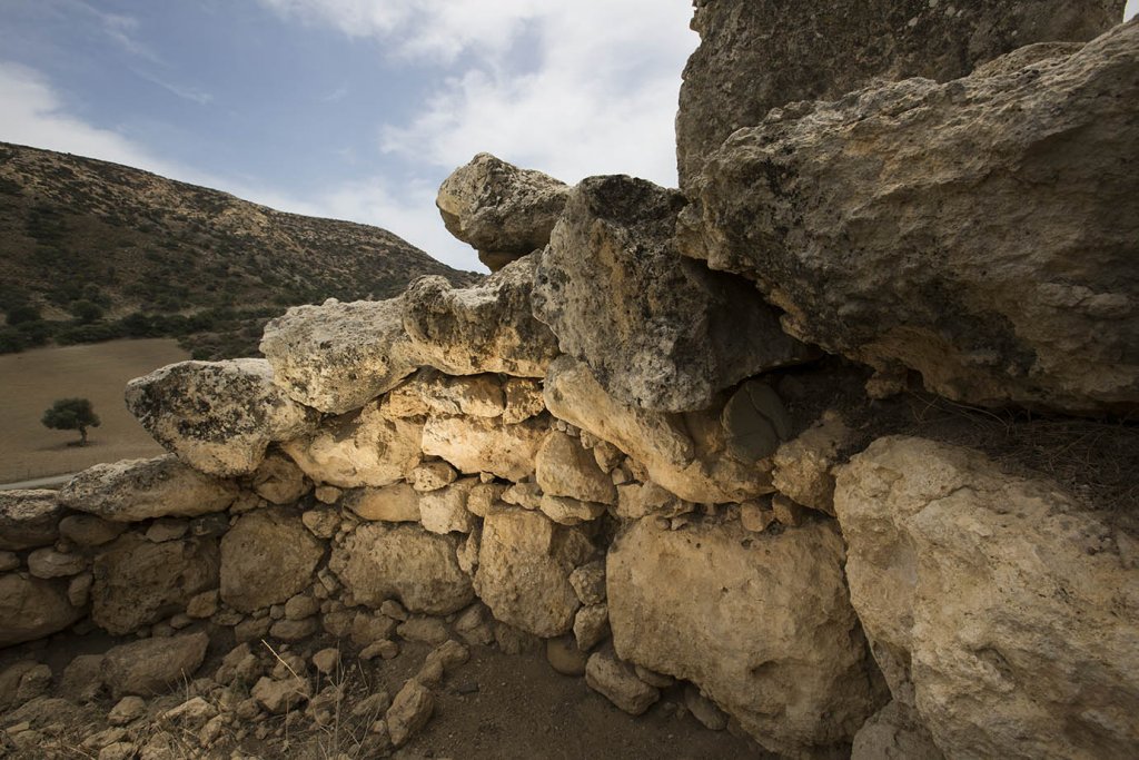


Modern portable lighting solutions highlight important sites, allowing for more visual intrigue in what would normally be a difficult lighting situation, and draws out architectural features.
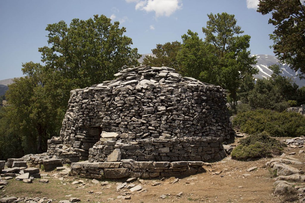
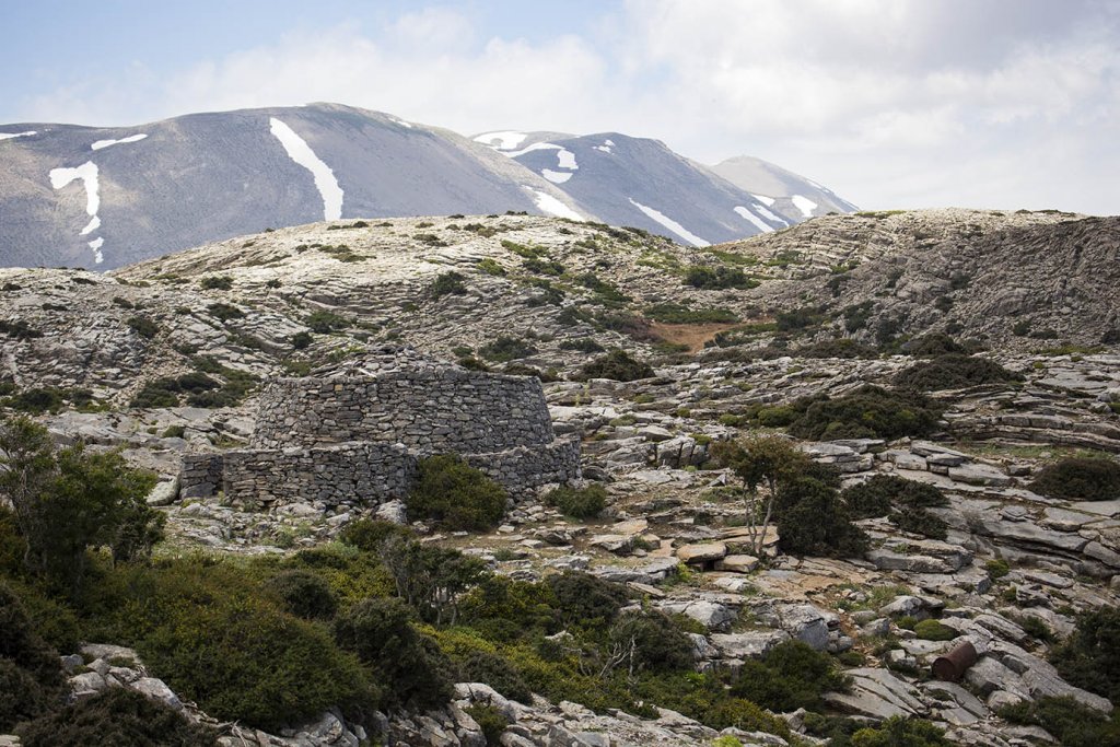
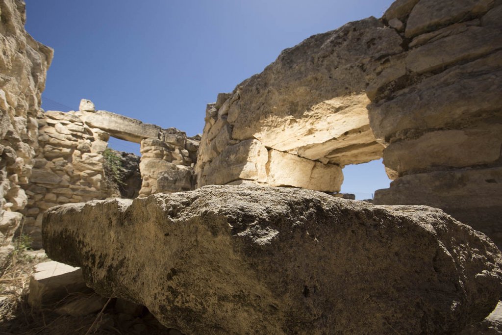
High resolution photos also provide documents for comparison, in this case, historic Cretan farmers utilized traditional building techniques that echo their Bronze-aged counterparts.


Documentation of lab analysis and highlighting of artifacts aids is a critical step in creating a visually compelling story to accompany the published research.